We are initially building up this section with content carried across from the old Cottingham History site. We’ve had lots more photos of our village streets and houses come in over the years so, once we have the core content laid down, we’ll get these added in and will also start creating pages for Middleton.
Cottingham
Bury House and Hunting Lodge

The Grade 2* Bury House (now Cottingham Hall) dates back to 1790. The Hunting Lodge Hotel, built in the late 1970s/early 80s, was converted to Hunting Lodge Mews in 2015. More…
Bury Close

Roman Remains were found when the 16 bungalows in Bury Close were built in 1961. This land was previously the Spinney for Bury House. More…
Church Street and Water Lane
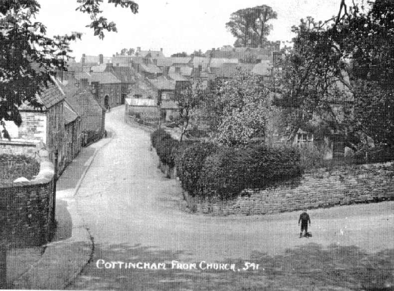
In 1841, Church Street was known as King Street and Water Lane as Church Lane. More…
School Lane

Before Cottingham Infants’ School was built in 1871, this street was known as Dag Lane. More…
Bancroft Road

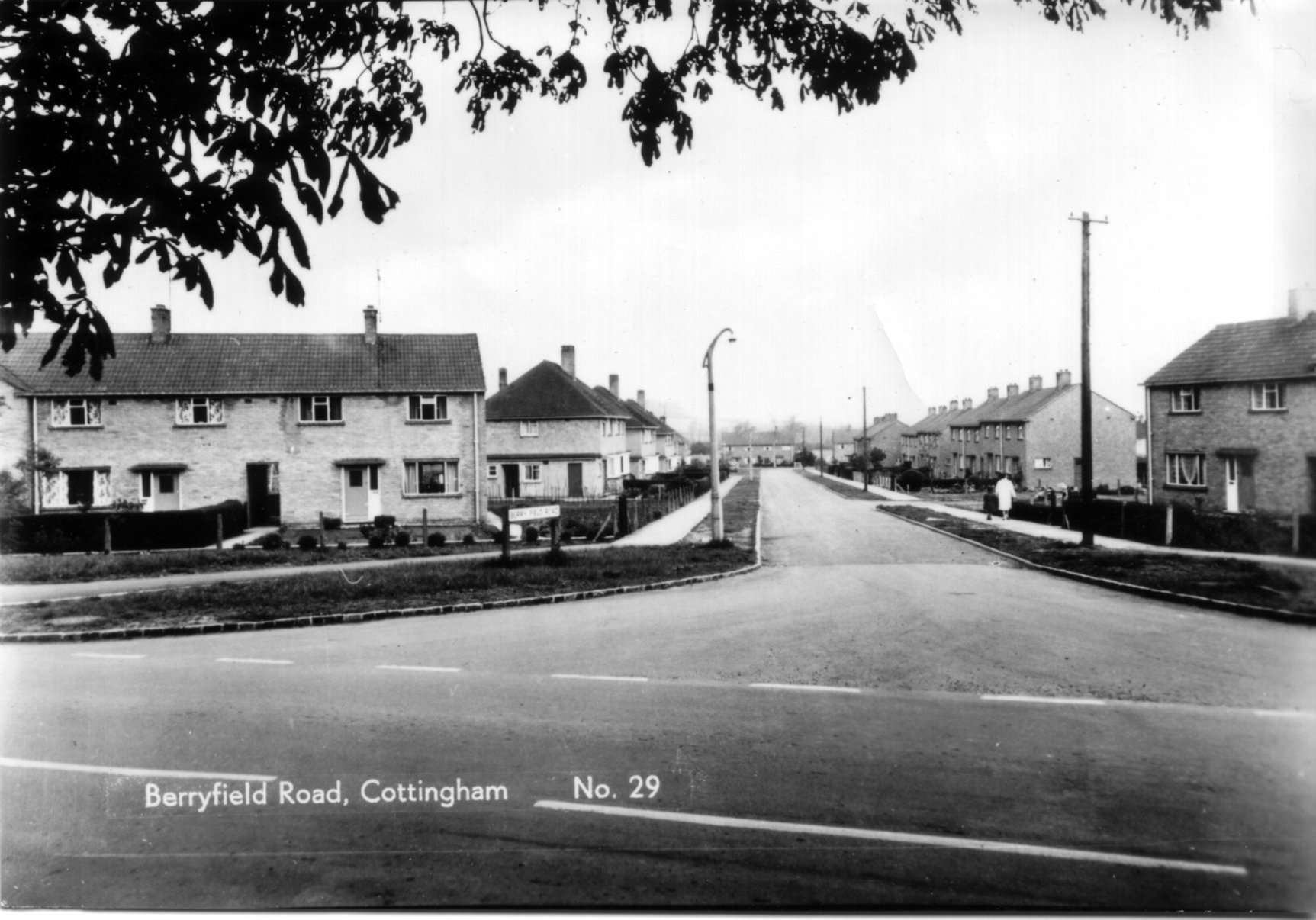
Berryfield Road and Ripley Road
Rockingham Road
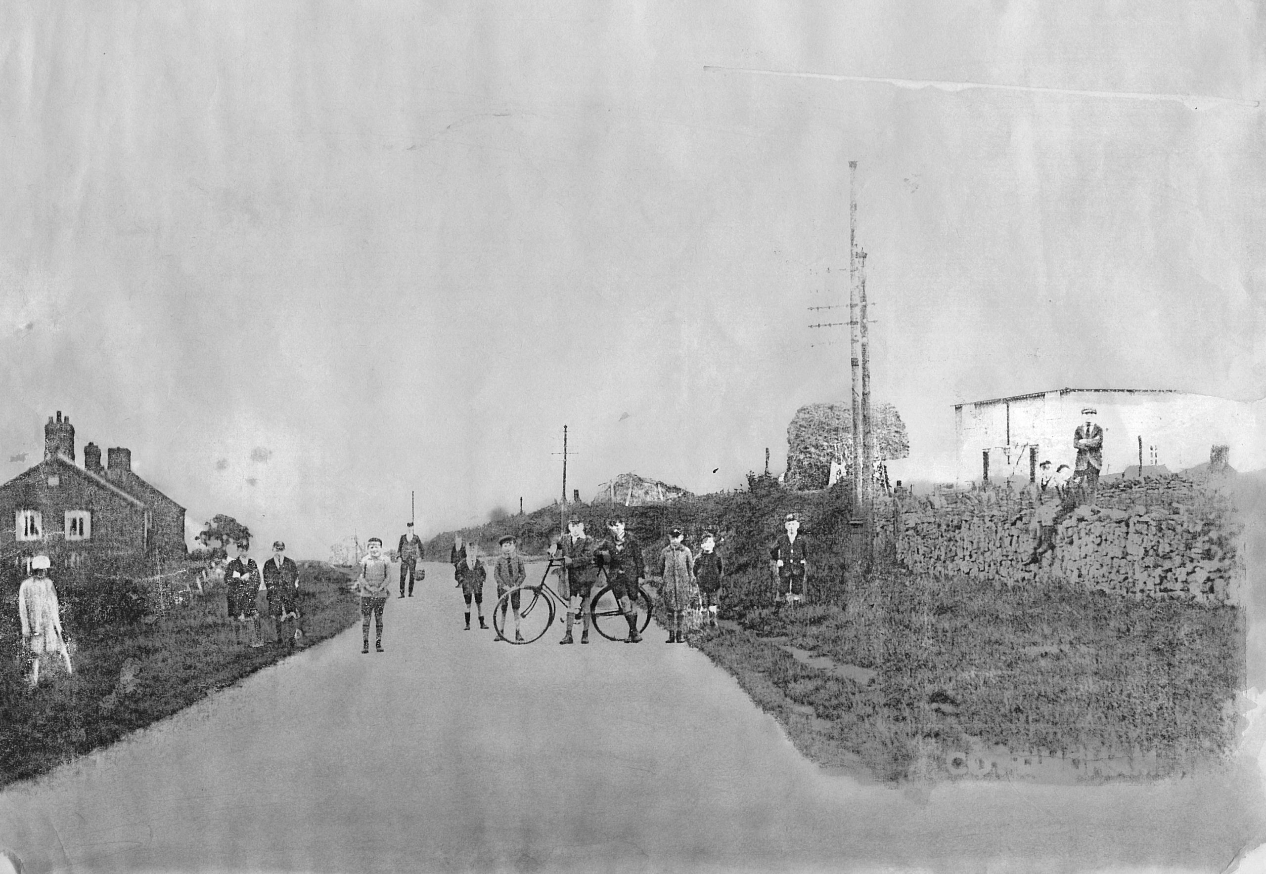
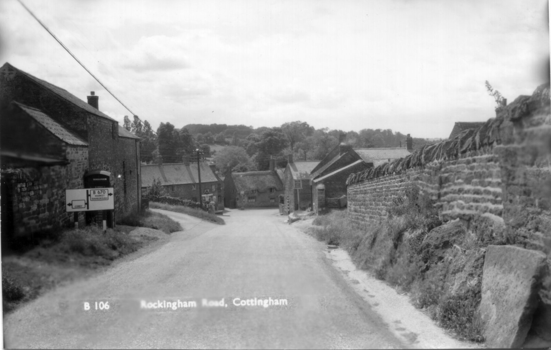
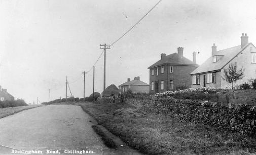
If you walk up Rockingham Road, you will see several new houses on the left hand side. The cottages after these new houses were known as Frog Island or Frogs Island, so called because they stood in an isolated position away from the rest of the village, before the new houses were built.
David Dodd, who lived on Frogs Island in the 1940s says: “Although I didn’t realise it at the time, the general state of repair of the cottages must have left something to be desired. Lying in bed one night I was woken by a tremendous crash at the top of the stairs. Was it a bomb? After all there was a war on at the time. It turned out to be that the landing ceiling had fallen down, weakened by a leak in the roof!”
On Rockingham Road in the centre of the village stood the Crown Inn public house. There was also a butcher’s shop and there is a bakery listed in Rockingham Road in 1901. Other buildings/sites of interest are Brickfield Manor and Prospect Place, an agricultural area on the left of Rockingham road as you drive out of the village, just past the old shoe factory. This land was fed by a spring which can still be seen on aerial pictures today.
Mill Road
In 1901, there was one house in Mill Road, owned by Francis Simpson who ran a market gardening business from home, with the help of two of his four sons, Edwin and Alfred. This business operated from a white wooden shed, and was owned in the 1950s by Mr and Mrs Dilkes.
The only other building on Mill Road was Cottingham corn mill, which is of course where Mill Road gets its name. The war memorial was erected on Mill Road just after the first World War.
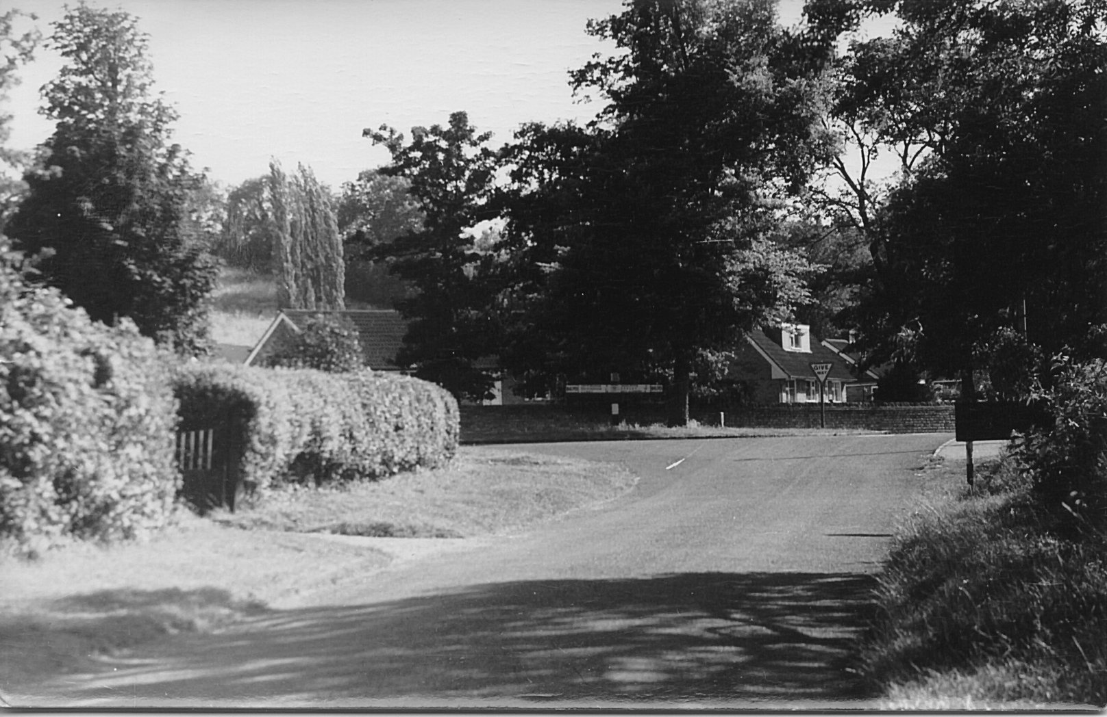
This photograph is taken from Mill Road looking towards the triangle island. The new school is now on the right of the picture – back then it was an overgrown area of building materials that was going to be a village hall. The square sign that you can see on the right was a fold down sign to warn of flooding when the Welland broke its banks.