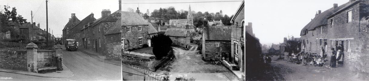
Corby Road lies along the route of the Via Devana Roman road that ran through the village. Corby Road only took its name in the 1870s, having previously been known as George Street and Priory Street (1841 Census), Town Street (1861 Census) and an extension of High Street (1871 Census).
There have been reports of a shuck sighted in the old Corby Road area. A shuck is a fire-eyed spirit in the shape of a large black dog, about the size of a calf. The shuck is also known as Padfoot, Shriker and Barguest in different areas of the country. Cottingham’s shuck was regarded as the travellers’ friend,walking in silence alongside lone travellers. A padfoot actually makes an appearance in ‘Harry Potter and the Goblet of Fire’!
The Cross
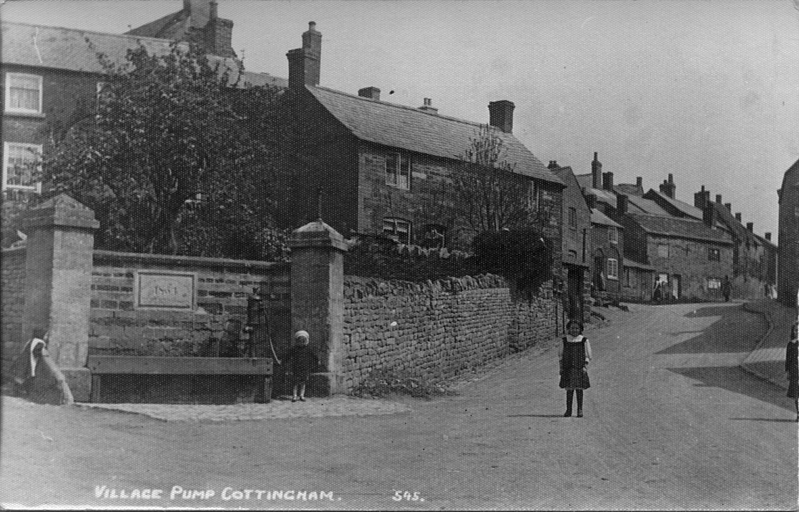
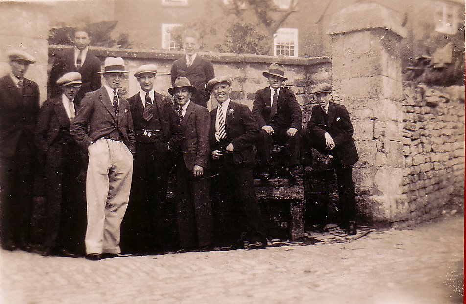
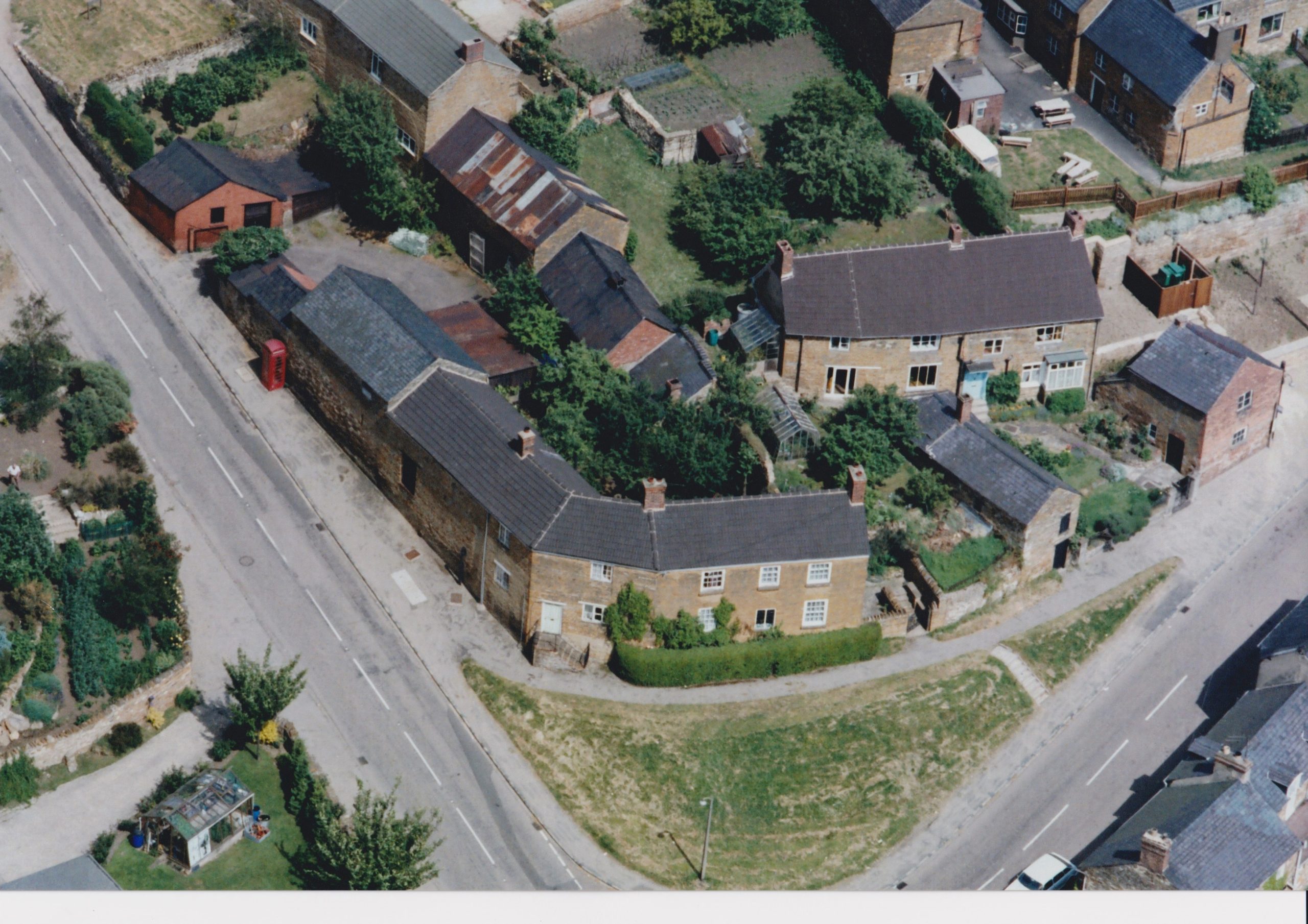
The crossroads at the centre of the village is still known locally as The Cross, which is presumably where the house on the corner of Corby Road, Crossbank House, gets its name. In 1901, the census recorded two dwellings on The Cross, which would have been the cottage you can see in the centre of the 1913 picture above. The triangle of land just behind the wellhead used to be used as an allotment to grow vegetables, cultivated by a couple living in the old butcher’s shop on Rockingham Road.
On the corner of Corby Road and Rockingham Road was a wellhead and pump, fed by spring water and installed by the village copyholders in 1854.
See our shops page for information and photos of the Corby Road shops and bakeries.
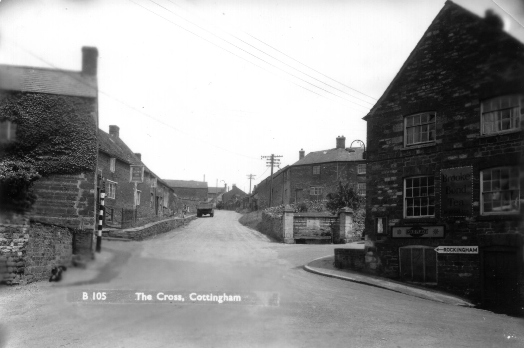
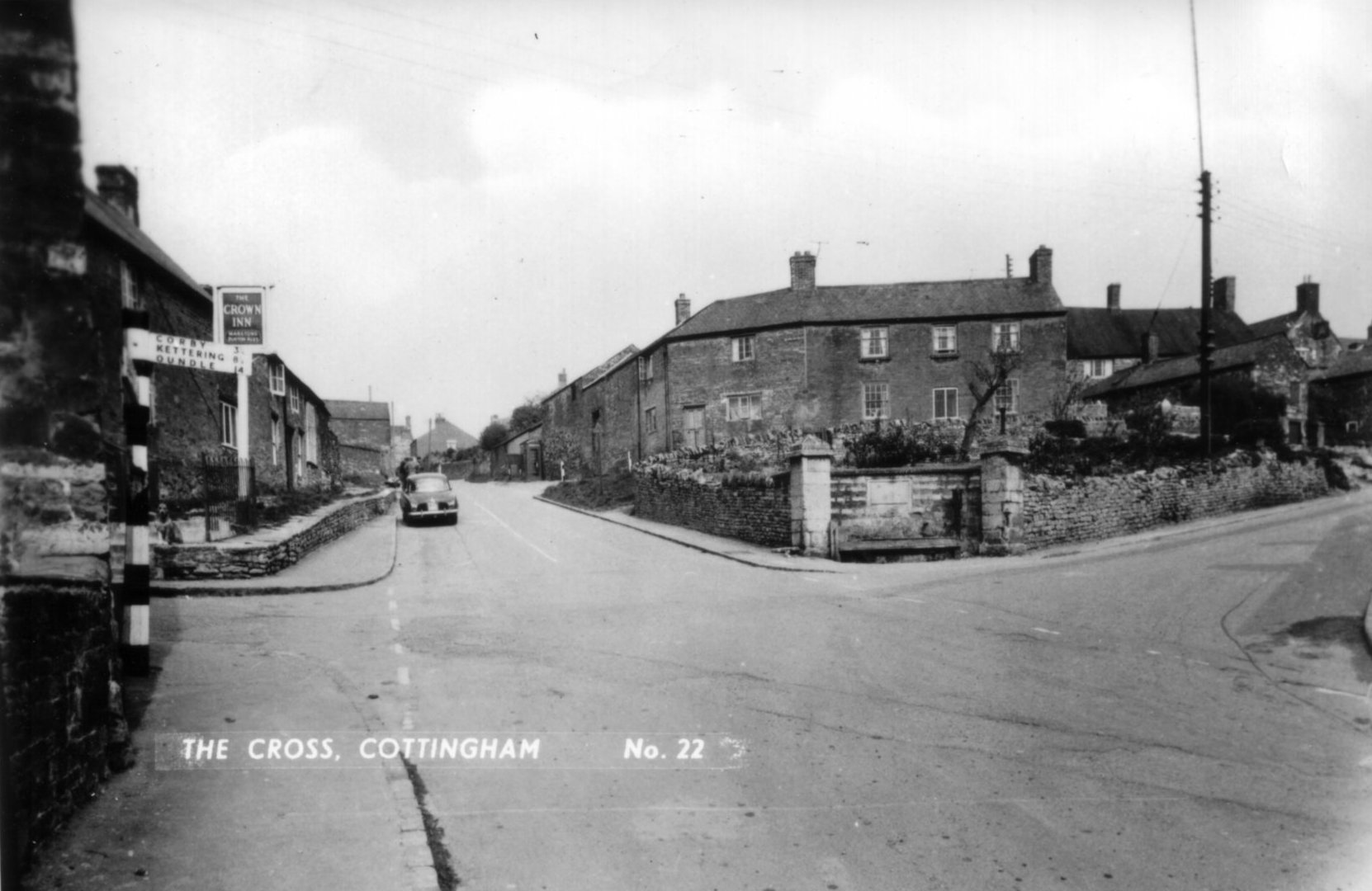
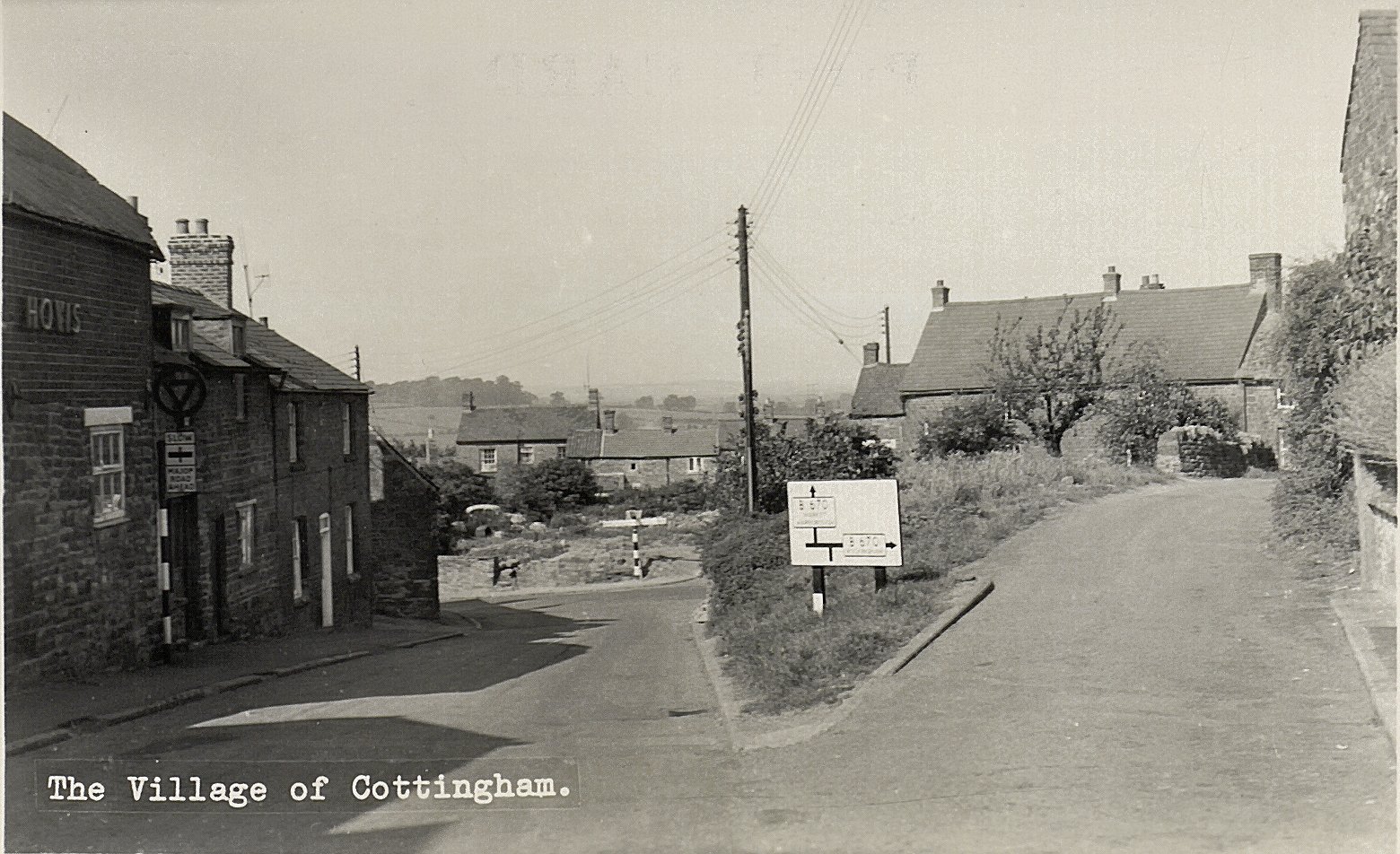
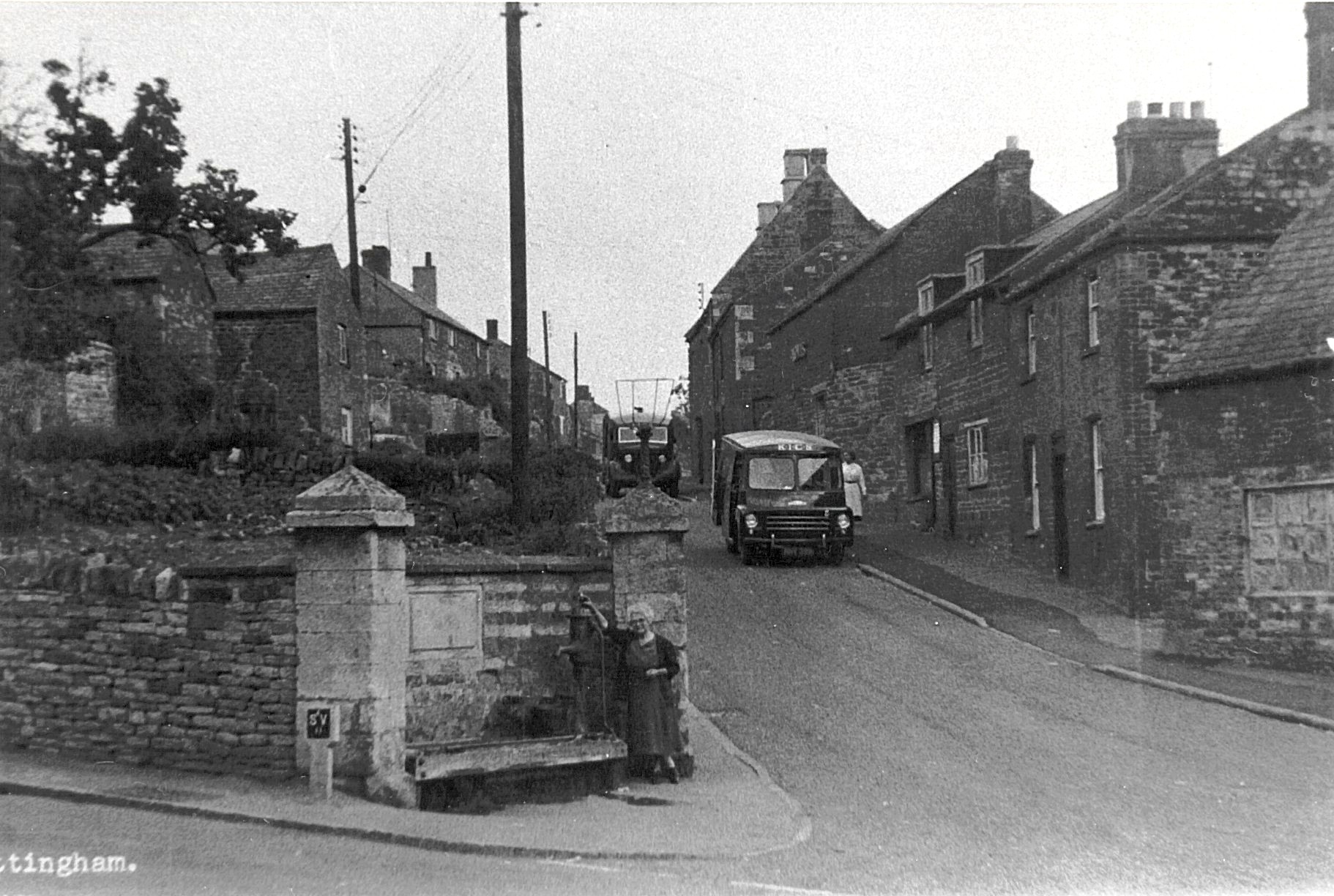
Coming into the village, the road used to fork around the wellhead and the cottage on The Cross, with the left hand fork (the current Corby Road) signposted to Market Harborough and the right hand fork signposted to Rockingham. You can see the fork clearly on the 1950s picture from Pam Moore above.
The top road, which was little more than a track, led behind the cottages on the Cross and right in front of Crossbank House, which means that the residents would have stepped out of their front door right onto the road. This is probably why the main door was relocated to the side of the house for a time before it was reinstated at the front in the 2000s. The top road was turned into the current pavement when Corby Road was widened in the 1960s.
Workers’ Cottages
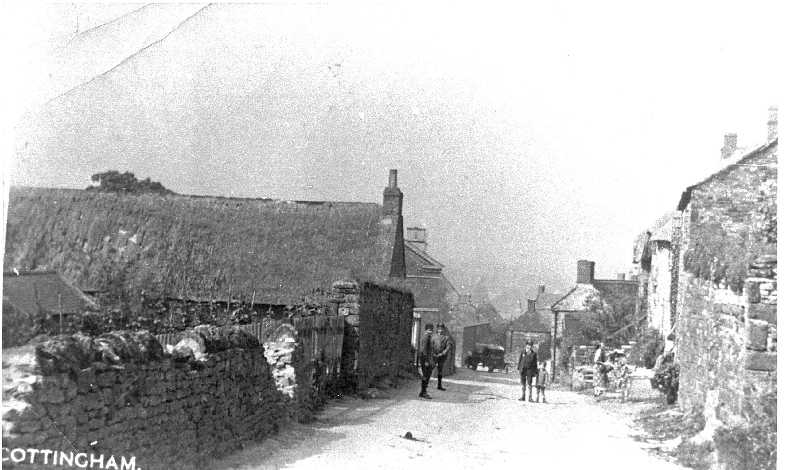
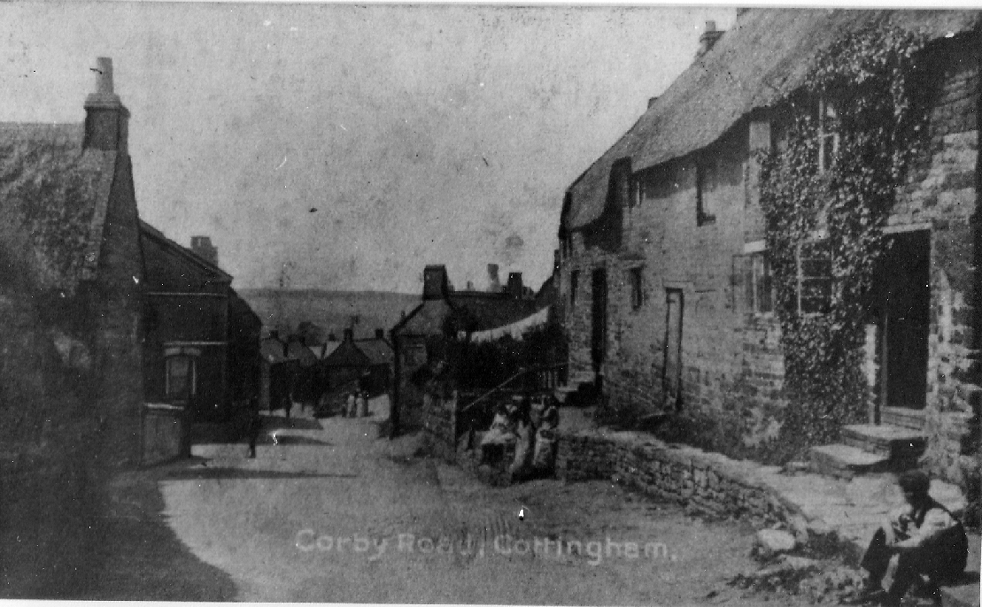
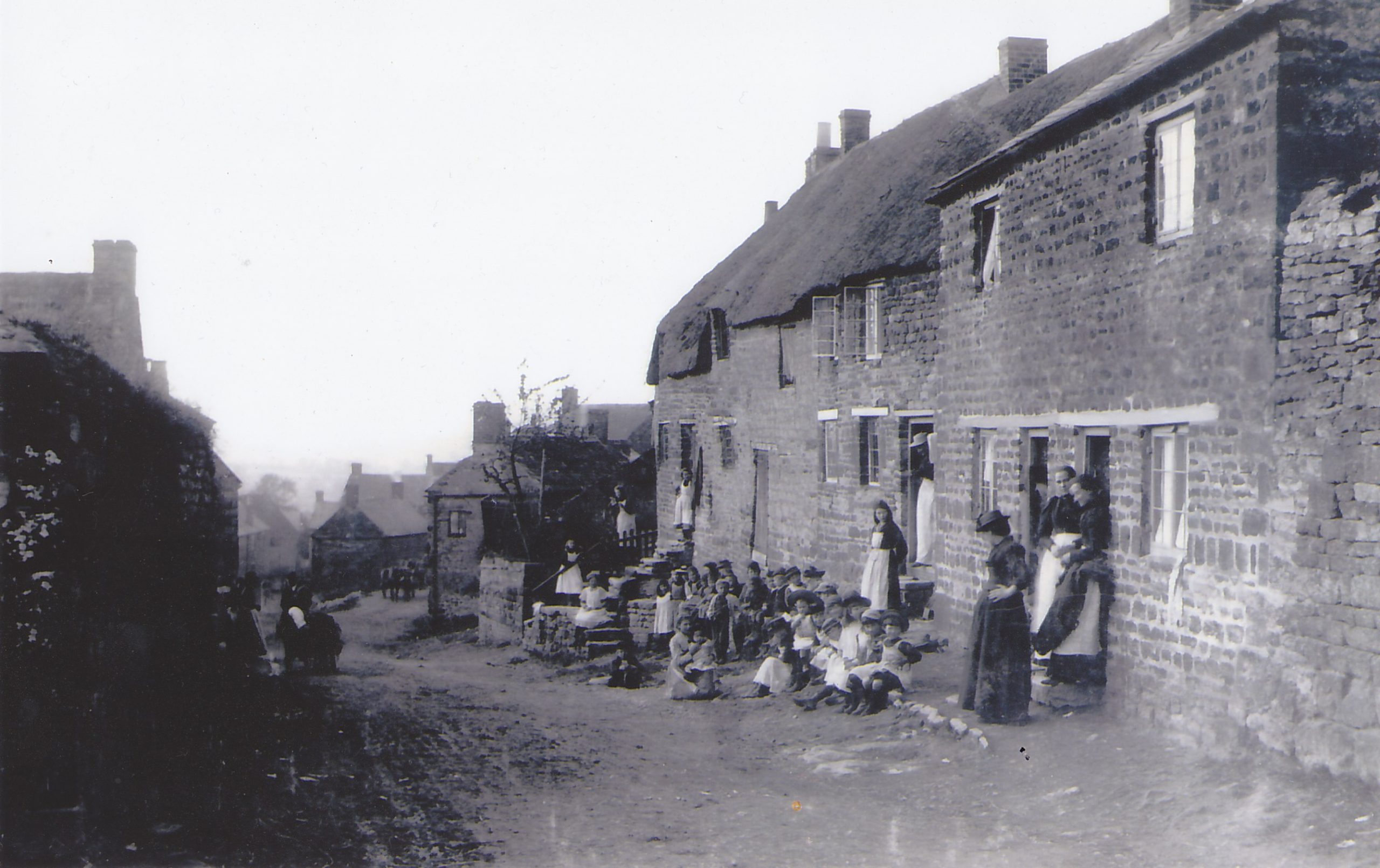
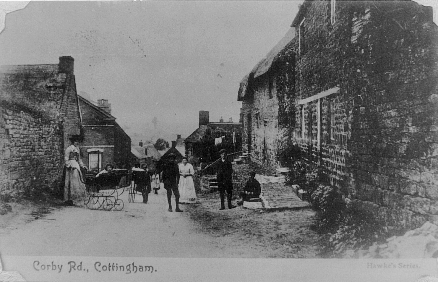
In the 19th Century, many ‘one up, one down’ and ‘two up, two down’ stone cottages were built in Cottingham and the surrounding area for labourers and their families. Going out of the village, there were rows of many such cottages all the way along the left hand side of the road, where the bus stop now stands and right up past the junction with Blind Lane. Many of these cottages were built into the embankment up to first floor level, so had no back exits. The stone wall behind the bus stop in front of the path up to Royal George would have been the back wall of the cottages.
Barrack Yard
There then used to be a row of stone cottages running perpendicular to Corby Road called Barrack Yard. These cottages were accessed up a set of stone steps and through a narrow tunnel between the cottages on Corby Road. In all the pictures above, you can see the steps on the right hand side that led up to the 10 cottages in the yard. You can see the chimneys of the Barrack Yard cottages at the top of the 1913 picture (top left).
The Barrack Yard cottages had no inside toilets or washing facilities, and the families used sheds on the opposite side of the yard to wash….etc! The cottages in Barrack Yard were condemned around 1959/60, but the red brick barn that stood at the top end of the Yard, that used to be Claypole’s Smithy, is still there, now used as a garage accessed off Blind Lane.
We are extremely grateful to Alan Craxford and Janice Binley for the photographs, maps and information on Barrack Yard below. You can find more information on Alan’s amazing family website, craxford-family.co.uk.


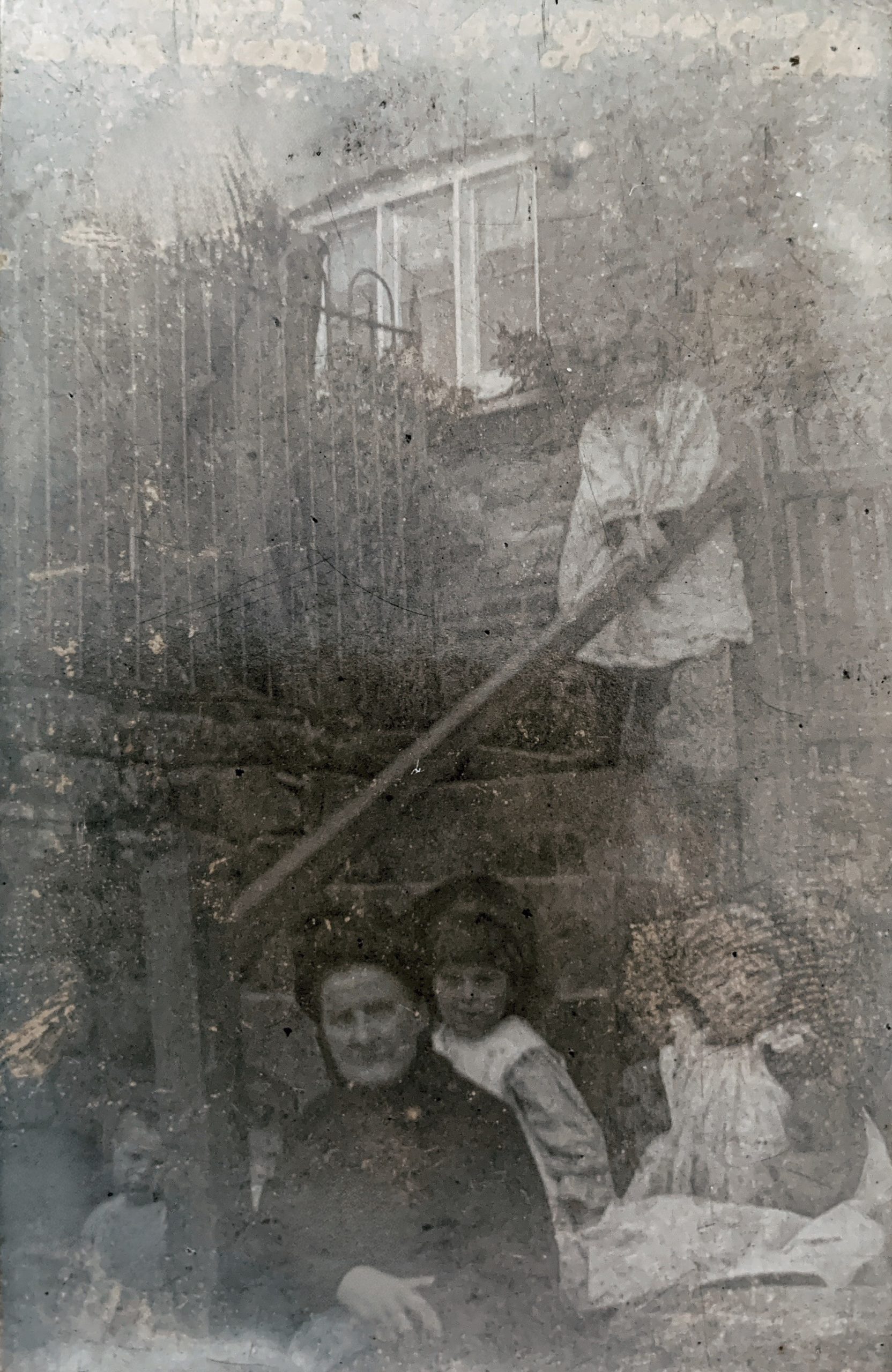
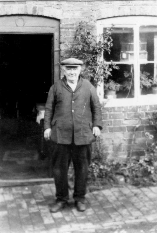
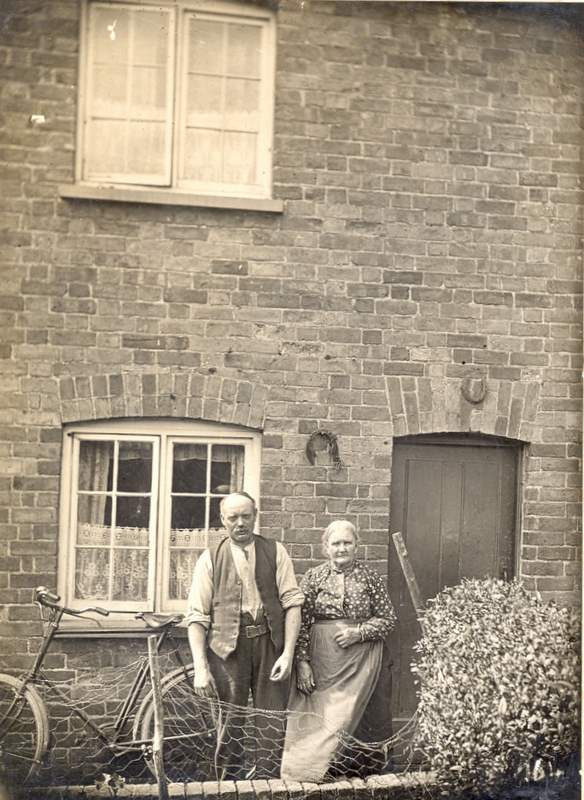
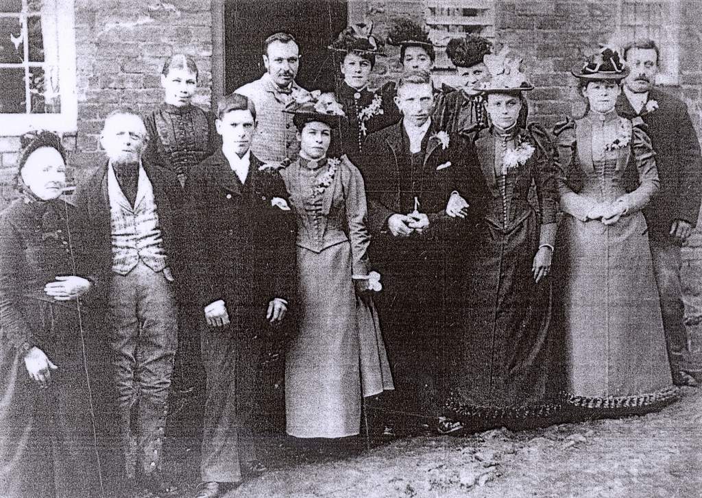
The following extract from a 1936 Northamptonshire County Council Health Department Report gives an idea of just how primitive life was in these cottages:
“A recent newspaper article referred in unflattering terms to the conditions pertaining in Cottingham … Many of the houses are practically built into the ground, without any protection against damp. As one enters the village from the Corby Road the first row of cottages affords a striking example of this: at one end the ground level is above the line of the first floor … Barrack Yard consists of a row of five houses facing the street and a block of seven behind, at right angles. The latter are approached by a narrow entry and face a yard obscured by barns and closets. The sanitary arrangements are disgusting – delapidated pit closets, often shared by two, even three families. In some cases they are close to the only house door. The brick structure in front is fairly solid-looking but the prevailing dampness, bad sanitation, and lack of space and amenity render these houses fit only for demolition. Below and in front of this is a row of four slum cottages which, I understand, have been scheduled for demolition, but are still occupied. Their condition beggars belief.”
Some modest changes took place in the years following this damning report, including the installation of running water and proper water closets, but it would be another 24 years before Barrack Yard was finally condemned and demolished.
But despite these conditions, it would appear that there was a real sense of community in Barrack Yard. Many families can trace their history back to Barrack Yard, with members of the same family living doors away from each other and moving in and out on a fairly frequent basis. Names we may recognise from the 1871 to 1911 Census returns include Beadsworth/Beesworth, Binley, Bradshaw, Claypole, Coles, Jarvis, Maydwell, Panter, Tansley, Timson and Vickers. Many people remember Ruth Harrison, who lived in the cottage nearest the Blind Lane with her husband Jack. Ruth moved to Berryfield Road when Barrack Yard was demolished in 1960 and lived to the grand old age of 101.
Remembering Barrack Yard
Janice Binley, who lived with her family in Barrack Yard and visited many of the cottages, remembers: “The majority of the houses in Barrack Yard were only two bedroomed. The front door opened straight into the living room which was the main room used for dining and sitting. When my grandparents lived there, cooking was also done in this room on a big black range. In later years, the ranges were taken out and ordinary tiled fireplaces were installed. There was a dark, cold and small scullery at the back with a sink and little else apart from a tiny fireplace similar to the ones which used to be in bedrooms. The stairs to the bedrooms led off the kitchen. Some of the houses had a few feet out the back where the meat safe was kept because it was cool out there, but there was little room for anything else.
Ruth and Jack Harrison’s house, the first one from the Blind Lane end, seemed to be the biggest. It seemed to have a sort of barn attached to the side which eventually became their kitchen and was quite large. From the kitchen (to the side) there was a tiny front room and I think the old scullery still led off from that to the back.
“The houses had no bathrooms. The wash houses and the toilets were situated in rows in front of the houses and gardens and at the edge of the roadway from the Blind lane end down to the Corby Road end of Barrack Yard. The toilets, even in the 1930s, were not water closets. Whilst my family lived in Barrack Yard, the loos were definitely the pit variety. There was a large galvanised bucket which was enclosed in a pine box-like structure with a lid with a circular hole in the centre which served as the toilet seat. I think the lavatories were emptied by the night soil men. By the 1950s, these had been replaced with the ceramic toilets we use today. However, there was no mains water attached for flushing and this was achieved by tipping a bucket of water down the pan. My neighbour (niece of Ruth and Jack Harrison) remembered her Aunt Ruth’s loo being like this and several others living in the Yard until it was demolished confirmed the same. There was a copper in the wash house which gave hot water if a fire was lit underneath it. Water initially had to be carried from the pump situated on The Pound, but certainly in the 1950s there was water laid on in the scullery over the kitchen sink.
“Despite all their failings, I always loved those houses, they really seemed to be cosy and the little enclave had a nice atmosphere. My grandparents already had four sons and when my mother was born in 1923, my grandfather went up and down the Yard telling everyone that ‘They had managed it this time and produced a girl’. The neighbours were all delighted by the news. In the 1950s the community spirit was still there and the residents used to sit on the garden walls to chat and laugh together. They were happy times.”
Demolition of Barrack Yard
The houses in Barrack Yard were condemned in 1959 and demolished in 1960, and a lot of the residents moved down into the new council houses in Berryfield Road.
At the time of its demise, the cottages were owned by former schoolmistress Emily Simpson and her brother, and all were rented out, often on short term tenancy agreements. There was a lot of movement in and out of the Yard, frequently by single people or families with one child, as they waited for better accommodation to become available.
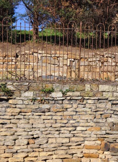
Once cleared, the land was purchased by the Crane family who built a single detached property on it which is still there today. The embankment has been reinforced at the front with a retaining wall, topped with railings. The inner wall behind this was part of the front of Barrack Yard, and the very top of the blue brick arch of the tunnel into the inner yard can still be seen in the wall. The present owner of the house has recently done a lot of work clearing the garden area in the front of the railings, such that you can now see part of the steps that used to lead up into Barrack Yard.

The Nook
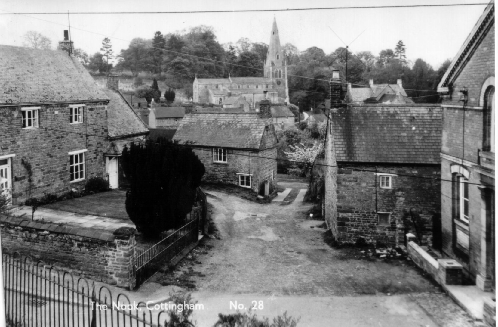
Walking into the village down Corby Road, there is a group of houses on the left hand side, just before the former Methodist Church. This area is known locally as The Nook.
Blind Lane
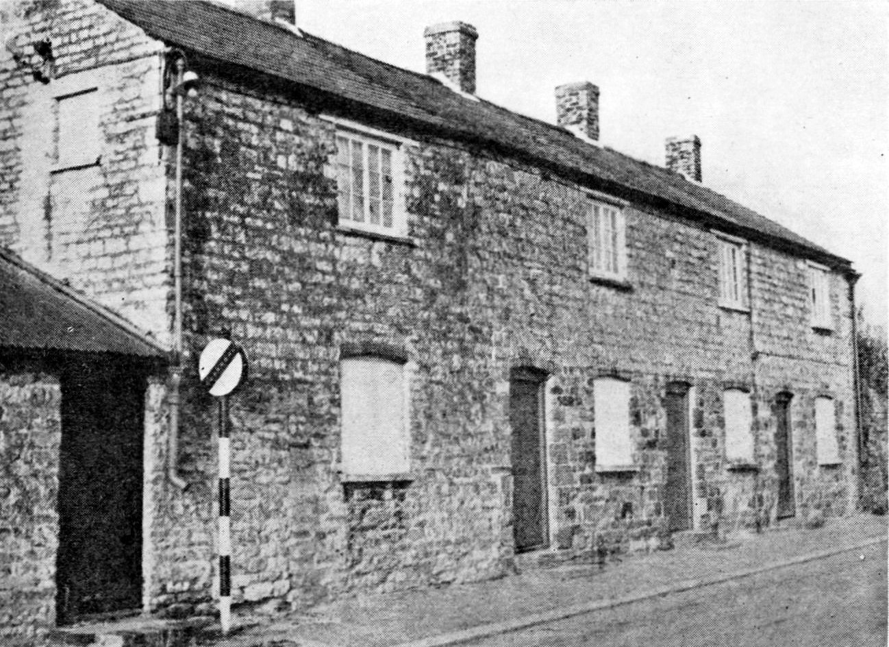
The row of cottages below used to stand on Corby Road, to the right of the entrance to Blind Lane where Cottingham Friends of Green Spaces (FroGS) have now planted up the bank. Mike Williams tells us that his grandmother Mary Monk kept house for Harry Goode, who lived in the two up, two down cottage on the left: “She stayed with Harry from 1939 to 1962, although they did move to the new Council House development in Middleton in 1950s,” says Mike. “The blocked off door by the cottages (behind the traffic sign) was where the bucket toilet was sited along with all of Harry’s gardening tools. There wasn’t a lock on the door so every one sang very loudly.”
Corner of Blind Lane
The Pound
There used to be a fenced area of common land at the bottom left hand corner of Blind Lane called The Pound. Farmers used to keep their animals there when they were moving them from one place to another. It was also used to temporarily hold any animals that had escaped from their field until the farmer came to collect them. These pens were located on the left hand side as you head up Blind Lane, where Bag End now stands. You can see The Pound marked on the 1886 Map above.
Pinfold/Penfold Bank
Penfold or Pinfold Bank is the name for the bank of land up on the right hand side as you head up Blind Lane. There is now a single cottage on this land, but there used to be red brick cottages at either end of this cottage. The 1901 Census records seven families living in these cottages, all in just three or four rooms.
Tragic Murder in Blind Lane, 1875
A tragedy took place in Blind Lane on 1 May 1875, when a six year old boy, Thomas Christopher Claypole, was murdered by a neighbour, Henry Crane, who was then living in a small cottage (described as a hovel) next to Claypoles’ cottage, all in Blind Lane. Crane, who had long had a reputation as a ‘queer’ character, had sent Thomas out to buy some ‘suckers’ (sweets), which Thomas duly purchased from Chamberlain’s shop in Church Street. Shortly after he returned with the sweets, Thomas was playing outside and his mother Sarah heard Crane say ‘come you along’. She then heard the sound of her son’s feet being drawn along the ground and, on running out and opening the door to Crane’s house, found her son standing in the room with his throat cut. Sarah carried her boy outside where he died on the ground about three minutes later.
The event was recorded in a rather matter-of-fact way in the Cottingham Infants School Journal as follows (1875):



An inquest was held at the Spread Eagle public house where the jury returned a verdict of ‘wilful murder against the man, Henry Crane’. Crane was subsequently formally charged with the murder and taken to Northampton County Gaol. However, he never stood trial as, in July that year, he was removed to a Criminal Lunatic Asylum at Broadmoor by order of the Secretary of State where he died on March 21, 1885.
There is some speculation that the murder was a revenge killing for the death of Crane’s brother in law, Thomas Sculthorpe, who he alleged had had his beer drugged and subsequently burned to death by falling into an open fire. However, there is no evidence to corroborate this.
For more information on the murder, visit Alan Craxford’s website at www.craxford-family.co.uk
Read also The Journal of Amos Crane on Alan’s website. Amos was Henry’s younger brother and had found the empty cottage on Blind Lane for Henry to live, a couple of doors down from Amos and his family.