Brickyard
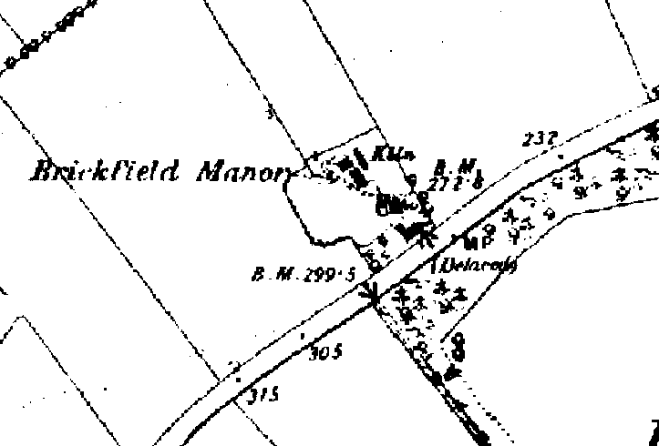
Small brickworks sprang up around the area from the early 1800s, with bricks being used mainly for chimneys and roofs, and for repairs. The coming of the railway to the area in the 1870s caused a resurgence in the industry, with bricks needed for bridges, viaducts etc.
The 1887 OS map (opposite) shows a brickyard with kiln at the top of Rockingham Road. In 1901, there were six households recorded at Brickfield Cottages, next to the brickworks and one of the occupants of these cottages (Charles White) was a brickmaker. These cottages have now been turned into a single dwelling, known as Brickfield House.
Limekiln


The 1887 OS map above shows a limekiln on land leading off Water Lane. The remains of the limekiln can still be seen on this land.
In the 18th and 19th centuries, limekilns were built across the UK to produce lime – a white powdery substance used for building (mortar and plaster) and also farming – as a fertiliser. Lime was produced by burning limestone, which was tipped in from the top of the kiln on to a coal fire. Then a layer of coal was laid over the top followed by more limestone, more coal and so on.
The furnace had a wide arch at the front, to allow in a supply of air at the base to keep the fire going and provide oxygen for the conversion process. As the fire burned, the lime was raked out of the furnace and taken away.
Mills
In 1536, Cotingeham was recorded as having three mills – one horse drawn, one watermill and one windmill. In medieval times, all three mills would have come under the monopoly of the lord of the manor, and the villagers would have been liable to heavy fines if they took their corn elsewhere to be ground.
Windmills started to appear in Britain in the 12th Century. In the 16th Century, they were made of wood. The body of the mill was balanced on a central upright post, allowing it to rotate to face the wind direction, hence the name for this type of construction, a post mill.
Windmill Close
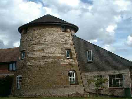
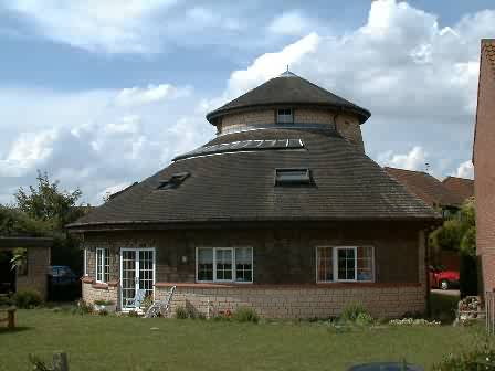
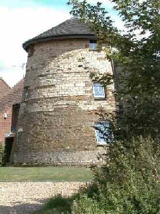
The 1887 OS map above shows a windmill standing alone on land to the left of Corby Road, heading out of the village. The windmill recorded in 1536 could have been located on the same site, as there is evidence of a mill mound, which was normally only constructed to raise the height of early post mills.
It is believed that the surviving tower mill structure dates from the late 18th century. It originally had four storeys, and the sails survived up until the late 19th century, when they were possibly lost in a storm.
In 1720, the mill was owned by John Aldwinckle (recorded on the 1720 enclosure awards map), and the Aldwinckle family remained active as millers for most of the 19th century, at least in Middleton. A Mary Aldwinckle was recorded as a baker/breadmaker in the 1901 census for the village.
In 1934 the mill was sold at auction for £5. The millstones were removed prior to 1955, when Charlie Lawson (who ran a radio repairers) bought the tower for £25, and reduced its height to three floors. After making it waterproof, it was used mainly for storage of radios.
A new estate has since built up around the mill, which now stands in Windmill Close, just off Bancroft Road. Ray Clarke and family purchased and started work on the ruined windmill in 1986 and completed the conversion in 1996.
With thanks to Ray Clarke, and Mark at www.windmillworld.com for the above information and photographs.
Rockingham Road
The 1887 OS map records a second windmill on land to the left of Rockingham Road, right out at the top of the road. It is actually located on the River Welland, so may possibly have been a water mill at one time.
Cottingham Water Mill
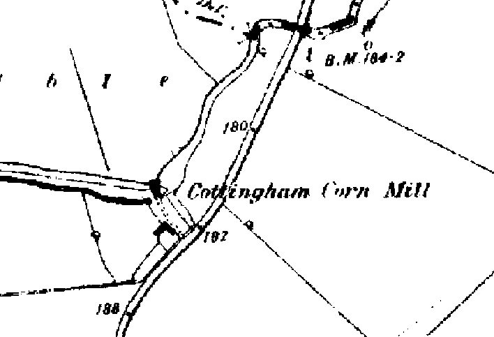
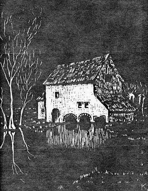

The Domesday Book of 1085 recorded a mill in Cottingham. In all probability, this referred to a water mill, but it is unlikely that it was in the same position as the 1887 mill because the original line of the river at this time was further north (along the county boundary).
Cottingham water mill dates back to at least 1705 when the miller was John Richardson. Subsequent millers recorded are John Robinson (1773), Samuel Burdett (1779), W Aldwinckle (1856), Bartholomew Aldwinckle (1890) and J H Aldwinckle (1890).
In the late 19th Century, Mr Shrive took tenancy of the mill and combined farming, corn grinding and eel catching. The mill had an eel trap and the Mr Shrive sent the eels to Billingsgate!
By 1922, the mill was disused. It was seriously damaged by fire in the Summer of 1936 and subsequently demolished. It is rumoured that the mill was set alight by a candle placed on a heap of straw.
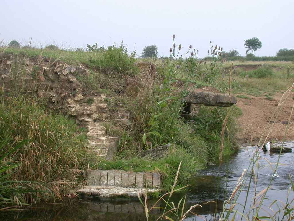
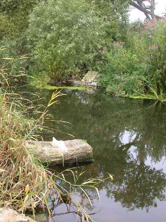
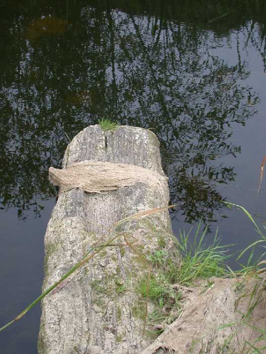
The mill itself would have sat astride the river which has been diverted to form a straight mill race, with a 6 foot (3 metre) tall mill wheel attached to the south bank. Little remains of the mill now but the part stone and part timber cill (at the base of the wheel) can still be seen, as can some of the mill’s stone and brick foundations. There was also a spillway (overflow) that carried water around the mill if water levels became too high. The brick arched bridge that crossed this spillway can still be seen.
With thanks to Keith Allsop for his help with information on the watermill.