Village Millennium Signs
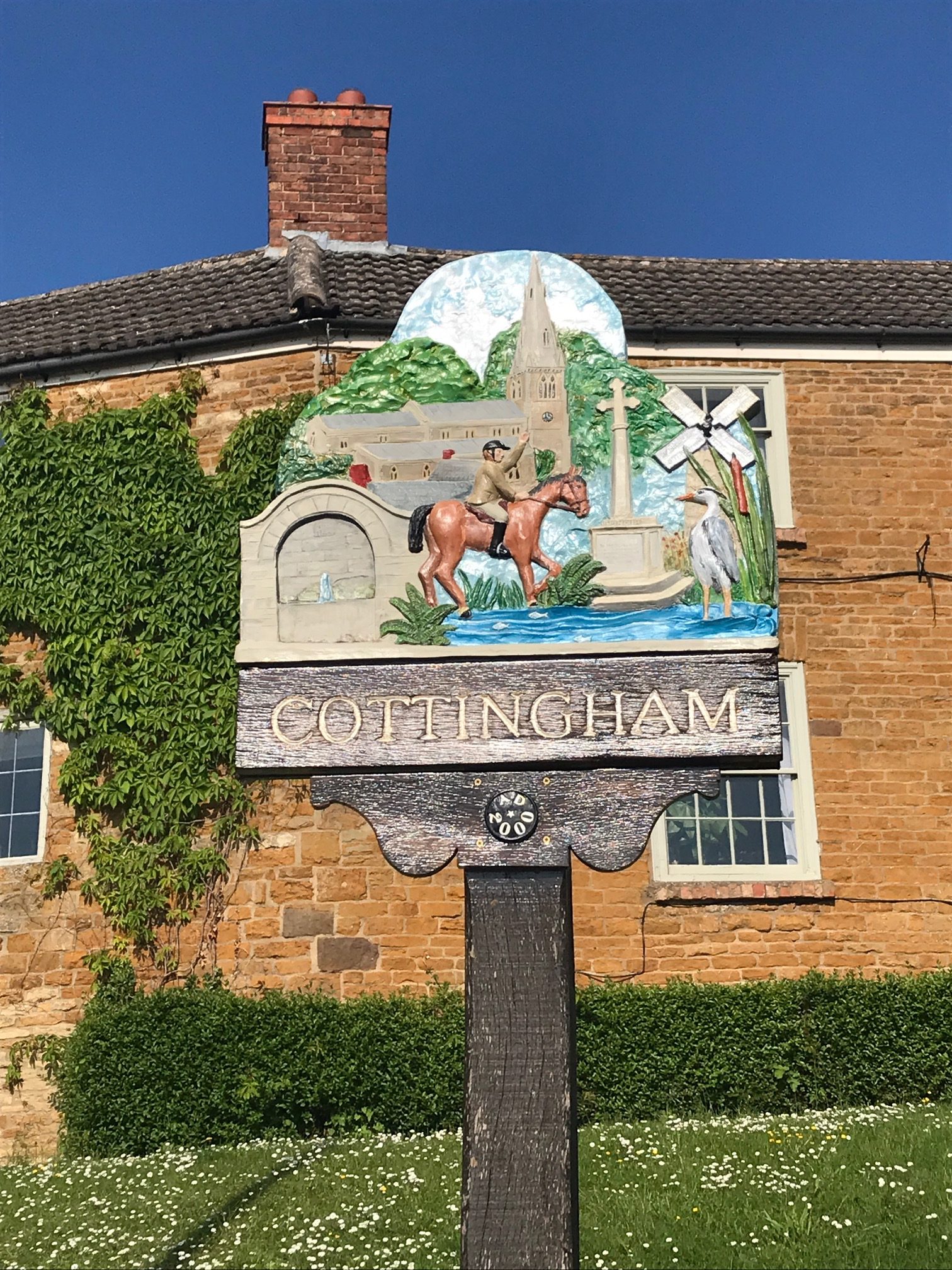
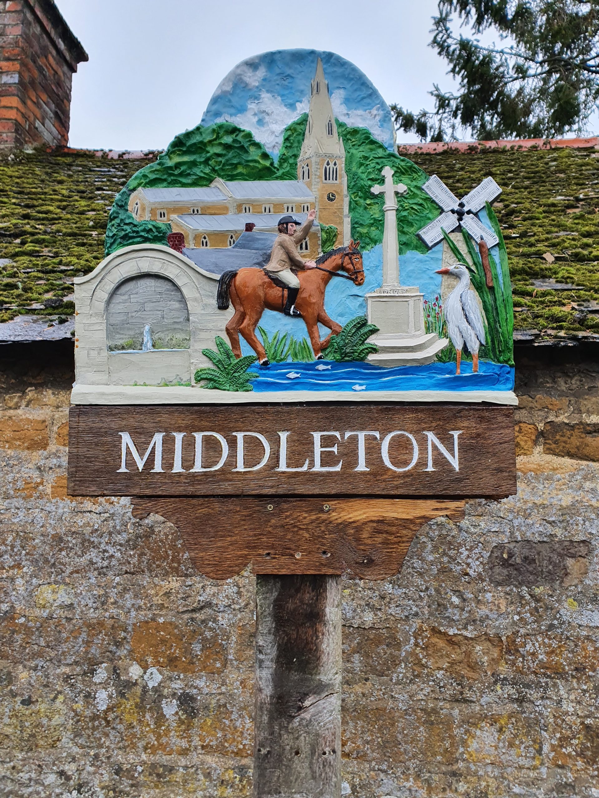
The village signs were designed by Chris Owen and erected in 2000 to celebrate the Millennium. The Cottingham sign stands on the corner of Rockingham Road and Corby Road, opposite the Village Shop and the Middleton sign stands outside the Rockingham Wheelers Clubhouse on Ashley Road.
Pocket Parks
The Dale in Cottingham and Middleton Orchard in Middleton are part of a series of pocket parks in the Northamptonshire area.
The Dale
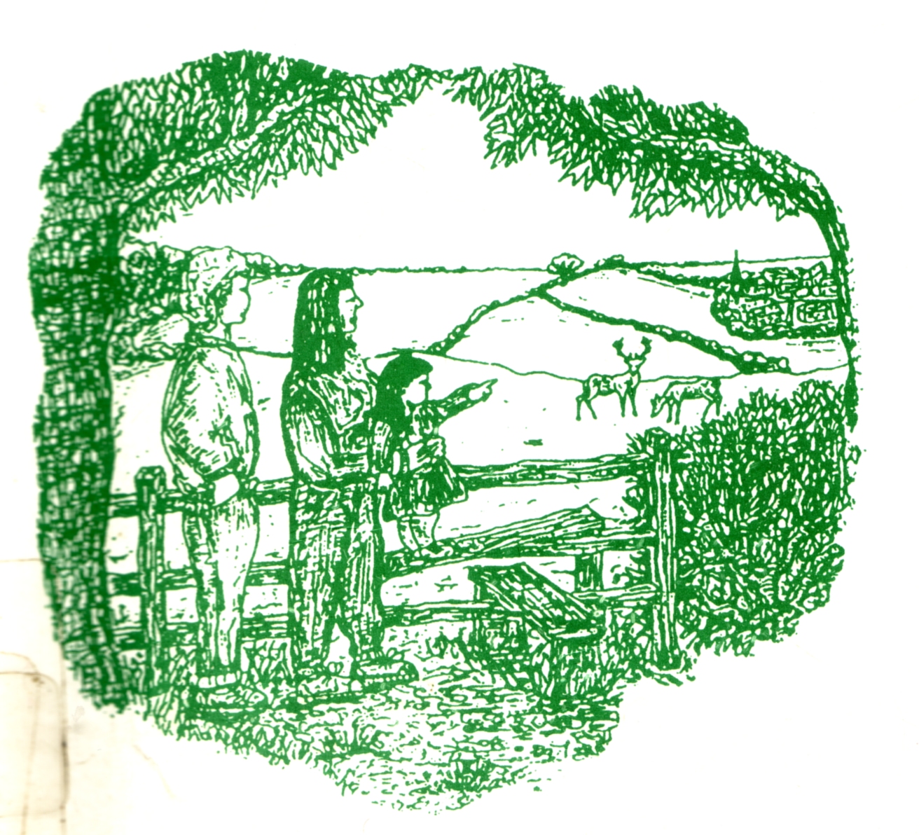
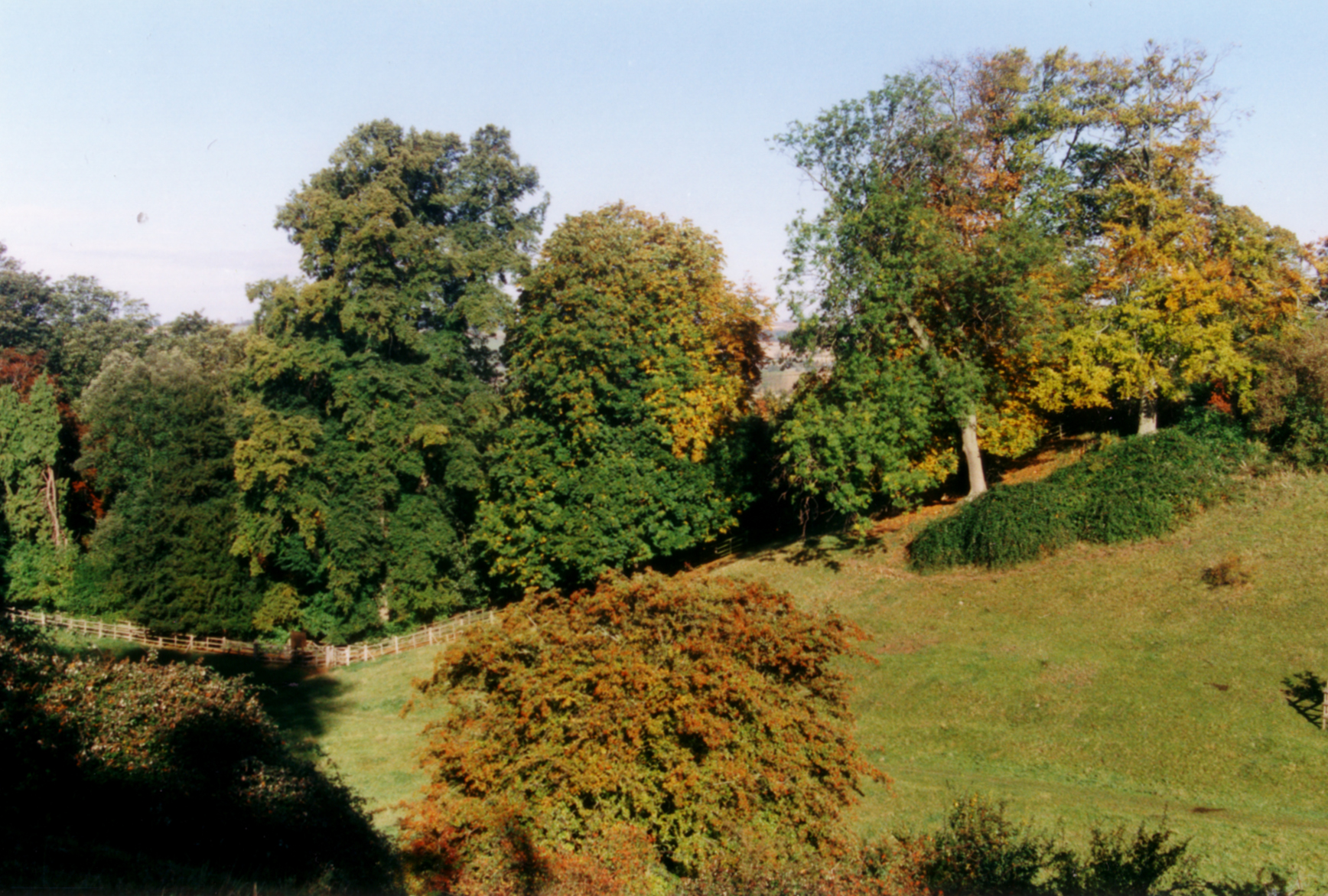
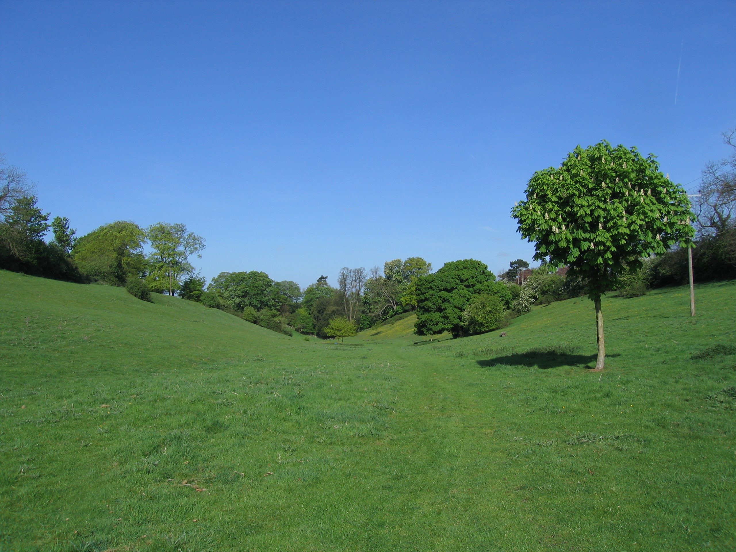
The Dale is a 10.84 acre natural limestone valley with steep sloping sides, formerly Glebe land owned by the Church. The site was established as a Pocket Park in 1985 when the then Cottingham Parish Council purchased it to save it from possible development. As you can read on the front page of this website, the local lads used to play cricket in the Dale. David Dodd recalls that the ball would conveniently roll back to the pitch – “useful when there was a shortage of fielders!”
Many villagers have fond memories of sledging on the Dale. “In those days when there used to be snow!” Says David: “It was almost taken for granted there would be snow every year. There was a selection of slopes ranging from the comparatively safe, on the line of the footpath from the road at the top, to the more advanced Swiss Bank where you could leave the ground, on a good day with a good sledge.”
Boundary Stones
There is a boundary stone on the border of Cottingham and Middleton, just on the edge of the Pocket Park on Middleton Main Street. In the Middle Ages, every year, on rogation day, the villagers walked around the boundaries of the village to mark the traditional boundaries that separated Cottingham from neighbouring villages. The ceremony, which involved the use of sticks and lots of noise to scare off malicious spirits that lingered in the crops, became known as beating the bounds.
The boundary between Cottingham and Corby used to be marked by a boundary stone that had a key symbol on the Cottingham side and a Greek cross on the Corby side. This was located on the medieval track of Middleton Lane, where the BP petrol station now stands at the Fourways roundabout. This stone was removed in the 1970s.
These same symbols were used to identify animals from Cottingham and the surrounding villages grazing on Rockingham Forest common land, according to the local rhyme “Oakley O, Gretton G, Corby cross and Cottingham key”.
Water troughs and pumps
Cottingham is fed by spring water which seeps down through the limestone to emerge in wells and springs around the village. Even today, water trickles across the aptly named Water Lane from nearby springs. In 1854, the village Copyholders installed iron pipes and pumps to provide a water supply for the village, fed from the spring above Water Lane. Some of these pumps still exist today.
Dovecotes
In the Middle Ages, the predominant design for dovecotes was rectangular, and they were mainly associated with manor houses and parsonages. Square and circular dovecotes became popular from the 17th Century onwards and were mainly associated with farms. There are the ruins of a square dovecote in the garden of Greystones in The Nook off Corby Road in Cottingham. There is an 18th Century dovecote in the garden of Hill House, Middleton.
War memorial
See Wartime page